
El Paso ZIP Code Areas and Stations
El Paso postal labels are useful search vocabulary, not legal boundary lines. The following crosswalk keeps the research distinctions visible: City or County area context, station evidence from a dated USPS release where located, and a note about address-level verification. A group in the state postal list may include ordinary delivery, special, internal, military, or PO-box patterns. Use the address itself to confirm current delivery. Do not turn a local-area label into proof that every address in the ZIP lies inside the City.
| ZIP | Areas covered | Post office | Notes |
|---|---|---|---|
| 79901 | Downtown and central El Paso | ELP-Downtown Station, 219 E Mills | Delivery area, not City-limit proof |
| 79902 | Mesa Hills and central-west | ELP-Mesa Hills Station, 5981 N Mesa | Verify the exact address with USPS |
| 79903 | Five Points and east-central | ELP-Five Points Station, 3011 E Yandell | Station pairing is dated evidence |
| 79904 | Sunrise and northeast central | ELP-Sunrise Station, 4100 Hercules | Postal geography, not a neighborhood legal line |
| 79905 | Washington Park and east-central | ELP-Washington Park Station, 4400 E Paisano | Confirm current station details |
| 79906 / 79918 | Fort Bliss | Fort Bliss Branch, 1733 Pleasonton | Installation or special-delivery context |
| 79907 | Ysleta and east El Paso | Ysleta Station, 880 N Zaragoza | Confirm present assignment |
| 79908 / 79910 | Airport and El Paso group | Airport Main, 8401 Boeing for 79910 | Exact delivery type needs USPS |
| 79911 / 79912 | North-west label / Coronado west | Coronado, 7383 Remcon for 79912 | 79911 needs address-level verification |
| 79913 / 79914 | State postal El Paso group | Station pairing not located | Do not infer neighborhood coverage |
| 79915 | Ranchland and southeast | Ranchland, 7314 Gateway | Dated station evidence |
| 79916 / 79917 | State postal El Paso group | Station pairing not located | Possible special or unique use, verify |
| 79920 / 79922 / 79923 | State postal El Paso group | Station pairing not located | List membership is not neighborhood coverage |
| 79924 / 79925 | Northgate northeast / Pebble Hills airport-east | Northgate, 5249 Sanders; Pebble Hills, 3100 N Yarbrough | Cross-check 79925 with parcel situs ZIP |
| 79926 / 79927 | County and state group; 79927 includes a Socorro example | Socorro, 10550 N Loop | Not all 79927 is City |
| 79930 | Summit Heights and northeast central | Summit Heights, 4116 Dyer | Dated station pairing |
| 79931 / 79932 / 79934 | State or County El Paso group; 79934 north El Paso label | Station pairing not located | Verify the address |
| 79935 / 79936 / 79937 | East and southeast group | Sandy Creek, 2100 George Dieter for 79936 | 79937 station not located |
| 79938 | Hueco Tanks County-map label | Station pairing not located | County geography, not City boundary |
| 79940-79948 | State postal El Paso group | Station pairing not located | May be delivery, unique, or PO-box patterns |
| 79968 / 79999 / 88510-88589 | Special El Paso postal groups | Station pairing not located | Do not call these ordinary neighborhoods |
| 79821 / 79835 | Anthony / Vinton | Station pairing not located | County localities outside the City context |
| 79836 / 79838 / 79849 / 79853 | Clint, San Elizario, and Socorro county-area labels | Station pairing not located | County-wide crosswalk, not City-only |
| 79928 | Horizon City | Station pairing not located | Postal place and municipal boundary differ |
The 2020 USPS El Paso station release supports the listed station examples, but station names and hours can change. It is not a current boundary map. Postal listings should always be paired with a current USPS address result and the relevant parcel or government record.
Map El Paso ZIP Code Parcels
The City GIS ZIP-code map service supplies a public boundary cross-check. It works best beside the Deeds parcel service, which includes the SITUS_ZIP field along with PROP_ID, OWNER_ID, legal description, street components, subdivision, year built, and jurisdiction fields. Map fields and appraisal fields can change on different schedules, so save the layer URL, query date, parcel or object identifier, and source label with any result.
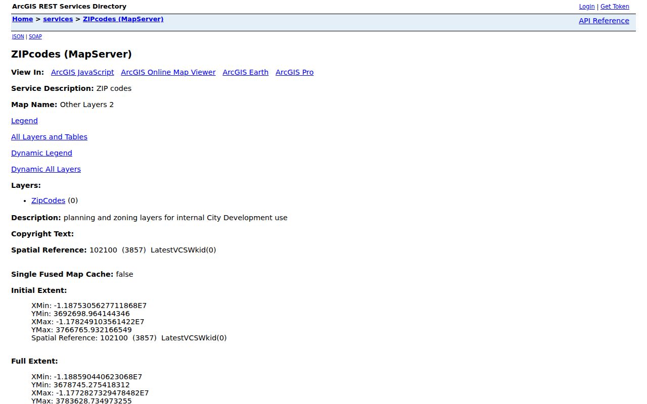
The map identifies postal geography, while EPCAD and the County Clerk remain the assessment and recorded-instrument sources. Use the GIS map to locate a parcel, compare a street number, or filter a ZIP. Do not treat a polygon’s location as certified title, a roster, or proof that an address falls inside a City limit.
El Paso’s border, military, City, and County geography makes the cross-check important. Similar street names can occur in different jurisdictions, and a property can have a postal label that is broader than its municipal context. Confirm County, municipality, parcel, and ZIP before joining records from two systems.
Use El Paso ZIP Code Parcel Fields
A ZIP-wide parcel search in El Paso begins in City GIS, not in an EPCAD ZIP filter. The inspected EPCAD Advanced Search did not expose a dedicated ZIP field. EPCAD remains useful once an address, property identifier, or GeoID is known, while the Deeds service provides the ZIP-capable parcel cross-check. The table separates what the public service can query from what each field means.
| Public field or control | Type | How it helps a ZIP search | Limit |
|---|---|---|---|
| Find address or place | GIS search text | Centers a known address before parcel inspection | Data may not appear until zoomed |
| Identify/select parcel | Map interaction | Opens a visible parcel for field comparison | Requires a rendered parcel |
| ArcGIS attribute or spatial query | Service endpoint | Can query the Deeds layer, including situs ZIP | Save date and returned fields |
| SITUS_ZIP | Deeds service field | Cross-checks the parcel’s ZIP value | Not a person or City-limit field |
| Property ID or GeoID | EPCAD field | Connects a map result to appraisal detail | Search EPCAD by exact identifier |
A ZIP+4 adds delivery precision to a ZIP Code, but it does not replace the parcel identifier or prove identity. The USPS ZIP Code basics explain that ZIP Codes are delivery areas and that ZIP+4 refines delivery. USPS address standardization is the current address-level check; it is better than a County map for a disputed or historical address.
Find Residents Within an El Paso ZIP Code
ZIP can narrow a research area, but it does not supply a public list of everyone who lives there. Start with an address or a documented parcel. Use the ZIP value to group relevant parcel records, then return to the underlying appraisal or deed record for the actual source fields. This approach helps keep an El Paso ZIP code directory focused on geography and records rather than assumptions about households.
- Verify the current full address and ZIP with USPS, preserving the original address form for historical comparison.
- Use the City GIS ZIP service and Deeds layer to locate parcels with the relevant situs ZIP. Save the query date and parcel identifiers.
- Open EPCAD by address, Property ID, or GeoID to review the location, mailing label, owner field, legal description, and tax year.
- For a recorded transfer, use the legal description and parcel details in the County Clerk index. For an older transfer, use the Historic Deed Index Books through Kofile.
- Move from the ZIP area to the specific street only when the address record supports it. The El Paso street directory has the fuller address-to-parcel and deed workflow.
Note: A ZIP result is a geographic lead, not proof that a person, property owner, mailing contact, or historical directory entry belongs to the same present-day address.
El Paso ZIP Code Voter File Route
The public El Paso Elections request page offers countywide voter-file, participating-list, and specific-election information. It describes dated files in text, fixed-width, or a current linked Excel format, with a field guide and map products. The documented fields include county and state identifiers, registered and mailing addresses, districts, registration dates, and voter history. Its public page does not promise a web ZIP browse, so ZIP filtering depends on the delivered schema after a lawful request.
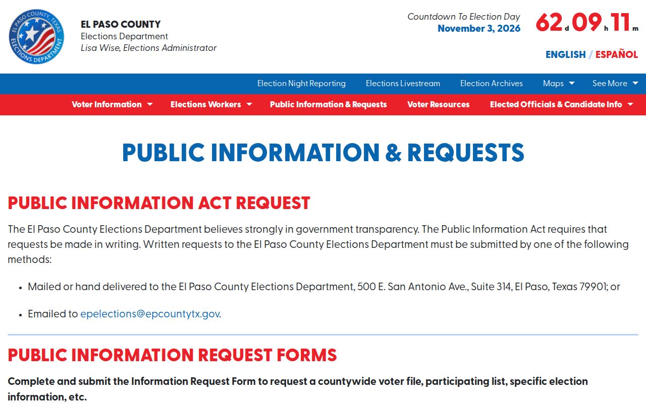
The page displayed dated snapshots and a time-stamped registration count during research, which is why a file’s date belongs in every note. Phone numbers and email addresses are not public in the county file. The official VoteTexas lookup instead offers VUID, Texas driver license or ID supplied on registration, and first-and-last-name methods for an individual’s registration status, county or precinct, and polling information.
Texas Election Code confidentiality provisions protect voter Social Security numbers and driver license or ID numbers, and qualifying residence addresses can be protected. Voter-file requests also carry affidavit and permitted-use requirements. Omit protected address data and do not convert an address field into a ZIP-wide public roster.
El Paso ZIP Code Boundaries and City Limits
A postal city label is not municipal-limit proof. The County map includes Fort Bliss, Horizon City, Hueco Tanks, Anthony, Vinton, Clint, Socorro, and San Elizario alongside El Paso. City limits, County boundaries, precincts, appraisal neighborhoods, school and fire districts, neighborhood associations, and ZIP Codes are different geometries. Put the source geography on every record card so a parcel, voter-file snapshot, or directory entry is not silently assigned to the City.
The research did not locate an official historical El Paso ZIP split or realignment timeline. A ZIP change does not establish annexation, a changed street number, ownership, or a new household. For a historical address, preserve the directory or map as printed, then use a documented USPS or County crosswalk where available.
- ZIP Code
- A postal delivery area. It can cross local-government or neighborhood boundaries.
- ZIP+4
- An added delivery detail for a standardized address. It is not a parcel or personal identifier.
- PO-box ZIP
- A postal assignment that may serve boxes rather than ordinary street delivery.
- Unique ZIP
- A ZIP pattern that can serve a particular institution, operation, or special postal use and should not be called a neighborhood without verification.
- Carrier route
- A postal delivery grouping. It does not decide ownership, municipal status, or the people at an address.
Keep El Paso ZIP Code Sources Separate
The ZIP map and Deeds service provide spatial discovery. EPCAD provides assessed parcel detail. The El Paso County Clerk records instruments. USPS confirms current delivery formatting. El Paso Elections provides a documented request route for dated county files, subject to its restrictions. Each system has a different purpose, update cycle, and access path. A match across two sources is stronger when the address form, record date, parcel identifier, and jurisdiction all agree.
Use a neighborhood name only as a discovery term. EPCAD neighborhood and neighborhood-CD fields are not automatically a City recognized neighborhood-association boundary. Likewise, a recognized association area is not a ZIP, parcel, precinct, or legal subdivision. Keeping the original field label beside the source avoids turning a useful search term into a false geographic claim.
Historic El Paso ZIP Code Cautions
Historical address work should not force a modern ZIP onto an older record. The postal standard, parcel service, and City boundary may each have changed after the date of a directory, deed, permit, or map. Start with the date printed on the old source, preserve its street spelling and place label, and record uncertainty when no official crosswalk is available. That is especially important in El Paso, where City, County, military, and border contexts overlap.
When the online sources cannot answer a narrow geography question, request an existing record from the correct custodian. A written request should name the specific address, date range, department, and record type. The Texas Public Information Act covers requests for existing public information; it does not require an agency to create a new analysis or solve an undocumented ZIP conversion.