
Trace an El Paso Street by Address
An address can lead to several public records in El Paso, but none is a complete household roster. Start with the parcel record because it supplies stable identifiers and separates the property location from any mailing address. Then use the parcel geometry and legal description to move into recorded instruments. A voter lookup is person-oriented, rather than a public street browser, and historic directories are dated snapshots. That distinction keeps a street-by-street search honest: it can document assessed ownership or an address association, but it cannot establish that every person at a number lives there now.
- Enter the full address in EPCAD property search. Save the Prop ID and GeoID, tax year, location address, mailing address, owner label, and legal description before changing the search.
- Open the City GIS parcel view to check the parcel shape, street placement, MAP_ID, and any visible situs components. Check units, corner parcels, and similar street names one at a time.
- Use the legal description, subdivision, and lot or block data in the County Official Public Records index. Narrow common names and broad date ranges because that index returns up to 10 documents before a new search is needed.
- For the documented historic deed window, search Kofile Historic Deed Index Books by type, year, party, or book, volume, and page. Record the reference and then use the Clerk copy route when the document matters.
- For a past address association, compare alphabetical and street sections in local city directories. A street section is a useful limited reverse lookup, but no separate El Paso criss-cross directory run was verified.
Keep a small log with the source, record date, address layer, parcel identifier, and access date. That log prevents a later deed, map, or directory entry from being mistaken for current occupancy.
El Paso Street Directory Fields at EPCAD
The El Paso Central Appraisal District is the strongest first stop for an address-led street directory search. Its basic box accepts a name, address, Property ID, or GeoID. When an entire street or a common road name produces too much noise, the Advanced Search offers owner name, address, Property ID, Geographic ID, subdivision, condominium, DBA, tax year, type, display, and sorting controls. Use the exact address form first. If it does not resolve, preserve directional prefixes, numbered-street spelling, unit information, and the original abbreviation while trying the street-name form.
| Field | Use in an El Paso address search | Format or limit |
|---|---|---|
| Search by Name, Address, Property ID, or GeoID | Basic single-box lookup | Accepts one of the four modes |
| Owner Name | Narrows a parcel after an address lead | LastName FirstName or last name example |
| Address | Finds a full number and street or a street name | StreetNumber StreetName or street name example |
| Property ID and Geographic ID | Connects a result to GIS and later tax-year checks | Use the exact identifier when known |
| Subdivision, condo, year, and type | Refines similar addresses or larger street results | Optional controls; inspected option lists were not exposed |
The parcel detail labels are more useful than a bare name match. Note the Location Address, Mailing Address, Name, Owner ID, Legal Description, Property Use Code or Description, Map ID, neighborhood, exemptions, and value categories. EPCAD says it does not verify situs addresses, so use City Planning and Inspections or County Public Works when the question is whether an old or disputed number is an official address.
- Parcel
- A mapped property unit used by appraisal and GIS systems. One street number may involve more than one parcel or a parcel may include more than one address.
- Situs address
- The property location label. It is different from an owner or agent mailing address.
- Plat and legal description
- Recorded land-description terms, often using a subdivision, lot, block, or unit. They help connect a parcel to a deed search.
- Criss-cross directory
- An address-to-name directory. El Paso street sections can offer a limited version of this function, but a separate local run was not verified.
Note: A parcel card can support an assessed-owner or property connection, but it does not create a list of every current occupant.
Map an El Paso Street Parcel
The public EPParcels service is a polygon layer with a 2,000-record maximum, advanced queries, distance queries, pagination, legal-description fields, MAP_ID, and file-as-name information. It is useful for placing an address on the correct shape before comparing it with the appraisal record. GIS geometry is a locator and cross-check. It is not a certified deed or proof of title.
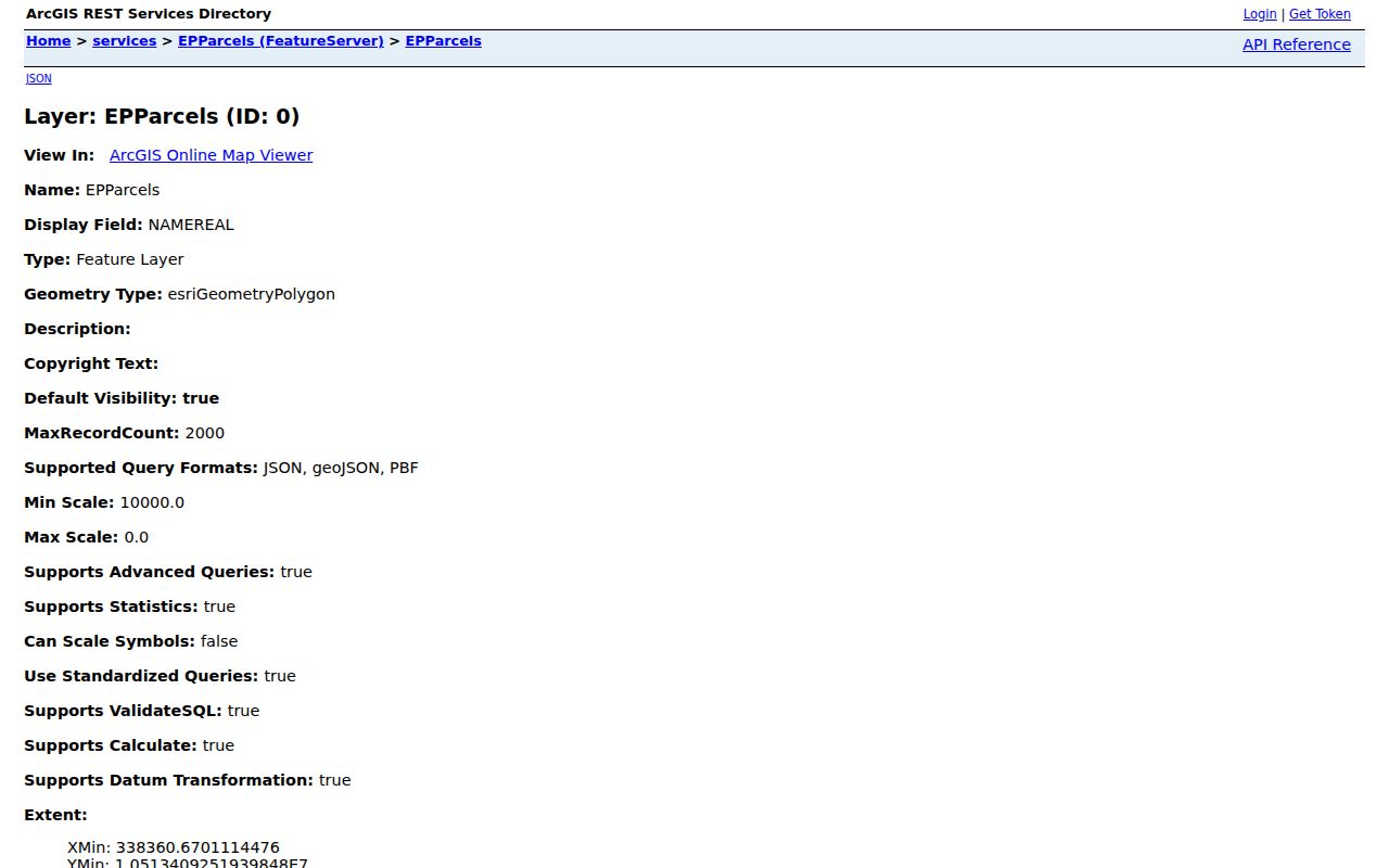
Use the layer URL and query date with any map result. After zooming to a parcel, compare the displayed geometry with the EPCAD Prop ID or GeoID instead of assuming the nearest label identifies the right record.
For a street segment, the City GIS viewer can find an address or place, identify a visible parcel after zooming, measure a view, and query attributes or nearby features. A nearby polygon only describes a spatial relationship. It does not prove a shared household, a social relationship, or continuity across time. This geography layer is particularly useful when the street changes direction, has an alley, or runs through more than one jurisdiction.
Read El Paso Deed Layers by Street
Once the appraisal record supplies a legal description, the County Clerk is the next record custodian. The current index can be searched by document number, deed name, subdivision, style, book, page, lot, block, unit, tract, and file-date range. Its deed-name behavior matches the end of the supplied text, so a short test term can produce an unexpected name match. Break a broad street project into smaller searches and record every result reference. The public index itself warns that it is not a substitute for a professional title or lien search.
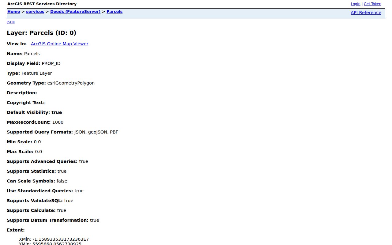
The City GIS Deeds service adds parcel and owner identifiers, acreage, year built, situs ZIP, subdivision, legal-description, map, street-component, and jurisdiction fields. The service can help filter or cross-check a street result before a Clerk search. It should not replace the recorded instrument.
Historic records have a distinct path. The County Clerk identifies Historic Deed Index Books for 1874 through 1963, while Kofile says the Deed of Trust series is under construction. Search, viewing, and purchase paths are separate, and an account is required to purchase. A grantor or grantee hit identifies a recorded trail, not present ownership, possession, or residence.
El Paso Street Records by Source
Each record set answers a narrow address question. The street name may be the common thread, but the parcel identifier and legal description are often better cross-system keys. Keep the county, City, tax year, and source date beside the address, especially when a property lies near Fort Bliss or another County community with an El Paso mailing label.
| Address record | El Paso keeper | What it can show | Access route |
|---|---|---|---|
| Parcel card | EPCAD | Assessed owner, situs, mailing label, legal description, use, exemptions, and IDs | Public web search with year caveats |
| EPParcels and Deeds GIS | City GIS | Parcel geometry, MAP_ID, file-as name, situs parts, ZIP, and jurisdiction fields | Public map and service query |
| Current recorded instruments | El Paso County Clerk Recording Division | Party, document, legal-description, book, page, and file-date trail | Public index; copies and fees may apply |
| Historic deed index | County Clerk and Kofile | Historic grantor or grantee references for 1874-1963 | Remote index; account needed to purchase |
| Permits and service requests | City Planning and EP311 | Project or service context tied to a location | Citizen Access and public submission routes |
| Voter-file snapshot | El Paso Elections | Permitted registration and district fields in a dated county file | Written lawful request, not street browsing |
El Paso Elections offers dated countywide voter-file requests in text, fixed-width, or linked Excel formats and describes registered and mailing addresses, districts, registration dates, and voter history. The public file is limited to the County and does not include phone numbers or email addresses. Use the stated request process and confidentiality rules. The public VoteTexas lookup is for a person by VUID, Texas driver license or ID supplied at registration, or first and last name. It is not a way to build a block list.
El Paso Street Permits and Service Context
City Planning and Inspections operates the One-Stop Shop and directs users to Citizen Access for Building, Licenses, Planning, Fire, Engineering, and Environmental material. The portal can display permit data and search permitted work, but the inspected public guide did not expose authenticated result fields, anonymous pagination, or a complete historical coverage date. Treat that gap as a limit, not as a reason to infer missing work.
A permit can provide an address, applicant or contractor role, project type, issue date, inspection status, and final or closed status when those fields are available. Those stages are not interchangeable. An application is not an issuance, and an issued permit is not proof that the work reached final status. For an exact file that is not online, name the department, street address, record type, date range, and preferred electronic format in a City records request.
EP311 accepts a category, location or map pin, and request details through anonymous or account routes. It is a service-request tool, not a confirmed historical case index or a finding against a property. Ask the Code Enforcement custodian for an existing completed file by address, case or request number, dates, and disposition when that is the record needed.
Note: Preserve the role printed in a permit or service record, because an applicant, contractor, requestor, owner, and occupant are not the same person.
El Paso Street Directory Snapshots
Older street work belongs in a dated directory, not in a current parcel card. El Paso County Historical Society reports city-directory holdings from 1886 through 2011, although that collection range does not promise an annual volume or establish a final printed issue. The digitized 1889 directory has an alphabetical section and street guide, and Worley’s 1912 directory contains individual, corporate, classified, street-guide, and advertising sections. Search the name section and the street section together, preserving initials, spelling variants, directional prefixes, and the number exactly as printed.
A directory entry associates a name or business with an address during a compilation period. It may include an address, a room or apartment, a telephone, or a notation, but it does not prove ownership, a move date, or daily presence. For the historical shelf and its repository access, use the El Paso city directory page rather than treating a single old listing as a current street record.
No verified El Paso street-renumbering or complete street-name-change table was located. City Planning and Inspections and County Public Works are the named address authorities. For a specific old and new number pair, request existing address-history or permit-related records and include the original form, possible alternate form, exact date range, department, and the record sought. The custodian may not keep a simple conversion table.
Check El Paso Street ZIP Geography
ZIP is a useful cross-check in an El Paso address search, not a title or identity field. The Deeds service includes SITUS_ZIP, while EPCAD Advanced Search did not expose a dedicated ZIP control in the inspected fields. Search EPCAD by the street address or parcel identifier, then compare the GIS ZIP value. Use the USPS ZIP guidance for a current standardized address and ZIP+4, particularly when delivery information matters.
Postal, appraisal, City, County, precinct, school, fire-district, and neighborhood-association geographies are separate. A mailing line that says El Paso does not establish City limits, and a postal label does not decide appraisal jurisdiction. The county map also labels Fort Bliss, Horizon City, Hueco Tanks, Anthony, Vinton, Clint, Socorro, and San Elizario. Confirm the actual municipality, County, ZIP, and parcel before joining a record.
Request Missing El Paso Street Records
When an online index lacks the needed year, field, export, or historical parcel document, use a written request for an existing record. The County Clerk PIA route calls for a specific written request and describes a response within 10 business days. Texas Public Information Act guidance requires the governmental body to promptly produce public information or communicate a production date if it cannot do so within 10 working days. Fees, a deposit for an estimate over $100, and redaction review can affect the timeline.
For assessment data, EPCAD provides Open Government materials, including a request form, downloadable data information, certified-export and GIS or shapefile information. A request asks the custodian to produce an existing record. It does not require an agency to resolve an address mystery, build a new database join, or certify an inference. State the account number or parcel identifier when available, then describe the exact record and date range.
Limits of an El Paso Street Directory
An owner name is not necessarily an occupant, and a mailing address is not the situs. A homestead exemption can be a dated clue in a parcel record, but it is not a complete occupancy list. Current permits and EP311 requests do not establish a violation, ownership, or continuous presence. A historic directory listing also does not prove a current address. Keep those record types separate when comparing results from the same street.
Texas voter records have confidentiality rules for protected identifiers and qualifying residence addresses. Motor-vehicle personal data is restricted by the federal Driver’s Privacy Protection Act, and utility customer lists are not a general public street index. The appropriate response to a protected or missing item is to respect the limit, not to seek a workaround. For an individual-focused verification after the address work is complete, use the official methods on the resident lookup page.
Lawful use. El Paso street records support personal, civic, property, and family-history research. Do not use address information to stalk, harass, intimidate, or harm anyone, and leave protected information out of any notes or sharing.